Monsoon updates: Dry days ahead in Delhi-NCR, monsoon to get delayed over peninsular India
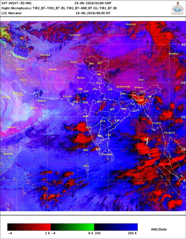
The India Meteorological Department (IMD) weather models indicated the monsoon revival was likely over south peninsula and adjoining central India, including Maharashtra, Odisha, Chhattisgarh.
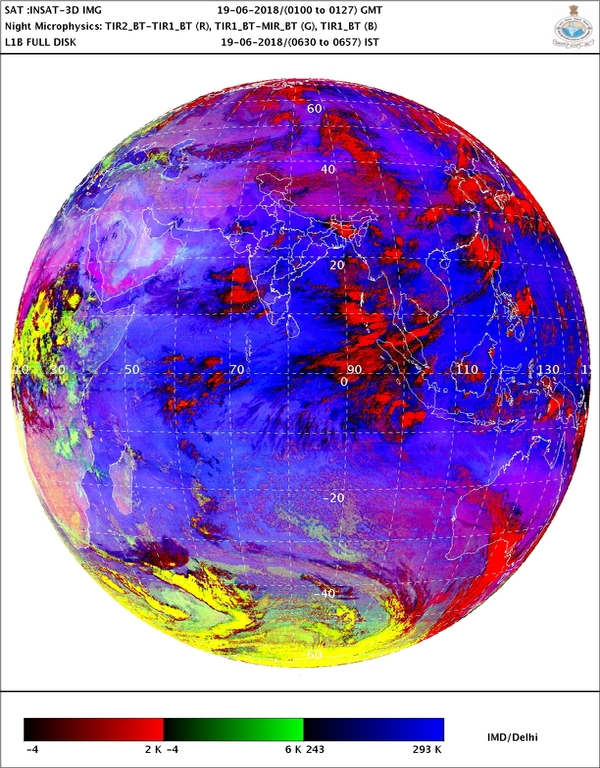
The South-Western monsoon has crossed Maharashtra and moving northwards even as the IMD predicts that its advance into remaining parts of peninsular India and rest of the country could be delayed. The MeT department has attributed the delay to the absence of a critical atmospheric push from the ocean.
The latest IMD bulletin says that a western disturbance and cyclonic circulations in the lower levels could cause isolated thunder squalls/gust winds over Western Himalayan region, Punjab, Haryana, Chandigarh and Delhi and West Uttar Pradesh during next 24 hours.
"The Northern Limit of Monsoon (NLM) continues to pass through Lat. 19°N/ Long. 60°E, Lat. 19°N/ Long. 70°E, Thane (including Mumbai), Ahmednagar, Buldhana, Amravati, Gondia,Titlagarh, Cuttack, Midnapore, Lat. 24°N/ Long. 89°E, Goalpara, Baghdogra and Lat. 27°N/ Long. 87°E. Further advance of southwest monsoon is not likely during next 5-6 days due to prevalence of weak monsoon pattern," the India Meteorological Department (IMD) on June 18 (8.00 pm) said.

The India Meteorological Department (IMD) weather models indicated the monsoon revival was likely over south peninsula and adjoining central India, including Maharashtra, Odisha, Chhattisgarh and south Madhya Pradesh. But subdued rainfall is likely to continue over northwest India, north Madhya Pradesh and north Gujarat.
Meanwhile, remaining northeastern states would witness light to moderate showers. There are also chances of isolated showers in Jharkhand, Odisha and Gangetic West Bengal.
According to the IMD's prediction on distribution of rainfall this monsoon, the central India will get 'normal' rainfall but the southern Peninsula - Karnataka, Telangana, Andhra Pradesh, Tamil Nadu, Kerala and Puducherry - may get 'below normal' rainfall.

The north-east India is expected to get least rainfall (below normal) during the period. The monthly rainfall over the country as whole is likely to be 101% of its Long Period Average (LPA) during July, and 94% of the LPA during August - both with a model error of plus or minus 9%.
Anything between 90%-96% of the LPA is considered "below normal" while rainfall in the range of 96%-104% of the LPA is considered "normal." Also, rainfall is considered "deficient" if it ranges below 90% of the LPA, and "above normal" if it falls between 104%-110% cent of the LPA. Above 110% of the LPA is considered "excess" rainfall.
Read in Malayalam: കേരളത്തില് ജൂണ് 22 വരെ കനത്ത മഴ പെയ്യും! ഡല്ഹിയില് വരാനിരിക്കുന്നത് കൊടുംചൂട്
Read in Telugu: వాతావరణం అప్డేట్స్: పెనిన్సులర్ ఇండియాలో రుతుపవనాలు ఆలస్యం
Read in Gujarati: મોન્સુન અપડેટઃ ચોમાસાની ચાલ ધીમી, ઉ. ભારતમાં ચોમાસામાં વિલંબ


 Click it and Unblock the Notifications