Low Pressure likely to intensify into Cyclone Jawad, to make landfall between Puri-Berhampur
Bhubaneswar, Nov 29: A well marked low pressure area predicted to to move west-northwest towards central parts of the Bay of Bengal region in the next few days might intensify into the current cyclone season's first cyclone. If the storm develops into a cyclone, it will be called 'Jawad', a name given by Saudi Arabia.

The cyclone is expected to make landfall in-between Puri and Berhampur.
The well marked to move west-northwest towards central parts of the Bay of Bengal region, which possibly can be expected to turn into a cyclone after a couple of days, and will be named Jawad.
With the IMD forecasting the formation of a low pressure area over south Andaman Sea in the next 48 hours and the possibility of its eventual build-up into a cyclone, the Odisha government on Sunday put all district collectors on alert asking them to closely monitor the situation.
Odisha's Special Relief Commissioner (SRC) P K Jena, in a letter to the district collectors, said that that the weatherman has forecast the formation of a low pressure area over south Andaman Sea around November 30, and it is likely to become more marked and move north-westwards in the subsequent 48 hours.
Jena also mentioned that the India Meteorological Department (IMD) predicted rain over some places in Jagatsinghur, Kendrapara, Kandhamal, Malkangiri, Koraput and Rayagada districts from 8.30 AM on December 2 to 8.30 AM on December 3.
He asked the district collectors to ensure that fishermen return to the coast by December 2 as squally weather conditions with surface wind speed reaching 50-60 kmph and gusting up to 70 kmph will likely prevail over west-central Bay of Bengal from that date.
IMD Director General Mrutunjay Mohapatra said that Odisha is likely to experience rainfall from December 2 to December 5 and did not rule out the possibility of a cyclone in the Bay of Bengal in the first week of December.
"The low pressure area is likely to become more marked and the system will have the potential to take the shape of a cyclone in the Bay of Bengal. However, we can give more information, including on the intensity of rainfall and wind speed, after formation of the low pressure area on November 30," Mohapatra told a local news channel.
The IMD DG said that the north coastal Andhra Pradesh, Odisha and West Bengal may be impacted if the low pressure area turns into a cyclonic storm. "However, it is too early to predict more on this," he added.
-
 Civil Defence Mock Drill in Delhi At 8 PM Today: Full Schedule of Locations and Timings Released
 -
 Hyderabad Gold Silver Rate Today, 2 April 2026: Know Latest Gold and Silver Prices In Nizam City
 -
 Purple Halcyon Aka Ashwani A: Who Is This Instagram Viral Girl Earning ₹70 Lakh via Subscriptions?
 -
 From Where Will Annamalai Contest TN Elections - Coimbatore North or Modakurichi?
 -
 Gold Rate In Bangalore Today, 2 April 2026: IBJA Benchmark Rates, Bhima, Abharan, Jos Alukkas, GRT Prices
 -
 Bengaluru Karaga 2026: 26-km Midnight Procession Draws Lakhs as Tradition, Devotion Light Up City
 -
 Ramayana Teaser Review: Epic Ambition Meets Work-in-Progress Visuals As Ranbir Silences Critics
 -
 April 3 Dry Day In Tamil Nadu Or Not? Status of Bars, TASMAC & Liquor Shops On Good Friday
 -
 No Cause for Panic: Iran Reassures India on Hormuz Situation
 -
 Is April 15 Lockdown in India Announcement True Amid Iran-US War Fears? How to Spot Fake News Online
 -
 Gold Silver Rate Today, 2 April 2026: City-Wise Prices, MCX Tracks Sharp Rise In Gold And Silver Across India
 -
 Trump Sets Tough Terms For Ceasefire With Iran, Demands Strait Of Hormuz Be “Open, Free, Clear” Amid Conflict


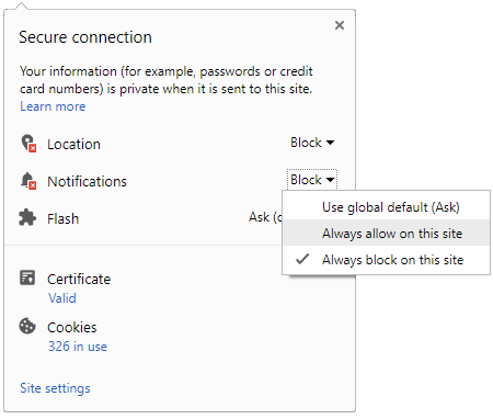
 Click it and Unblock the Notifications