Monsoon update: Heavy rains expected in coastal Karnataka, Konkan-Goa and Mumbai
As per the forecast, there is a possibility of "very heavy" rainfall in Ratnagiri and Sindhudurg districts on Thursday and on 8 June.
Heavy spells of rain can be expected in coastal Karnataka and Konkan Goa from today, while a warning has already been for issued for Mumbai where 'heavy to very heavy rainfall' is likely on June 9, as per the India Meteorological Department (IMD)'s forecast.
A TOI report quoted an IMD official as saying that some places in Pune district may get extremely heavy rain. He also said there is a possibility of flooding over coastal Karnataka, Konkan-Goa and Mumbai.
The
weather
bulletin
by
the
IMD
states
that
Southwest
Monsoon
has
further
advanced
into
some
more
parts
of
South
Interior
Karnataka,
most
parts
of
Rayalaseema,
South
Coastal
Andhra
Pradesh
and
West
Central
Bay
of
Bengal,
remaining
parts
of
eastcentral
Bay
of
Bengal
and
some
more
parts
of
northwest
Bay
of
Bengal.
Click here for All India weather summary and forecast bulletin
"Conditions are favorable for further advance of Southwest Monsoon into some more parts of Central Arabian Sea, some parts of south Konkan & Goa, remaining parts of Karnataka and Rayalaseema, some parts of Telangana, some more parts of Coastal Andhra Pradesh and West Central Bay of Bengal during next 24 hours," the IMD weather bulletin released on June 6 (7.00 pm) said.
"Conditions are very likely to become favorable for further advance of Southwest Monsoon into some more parts of Maharashtra, Telangana & Coastal Andhra Pradesh in subsequent 48 hours," it added.

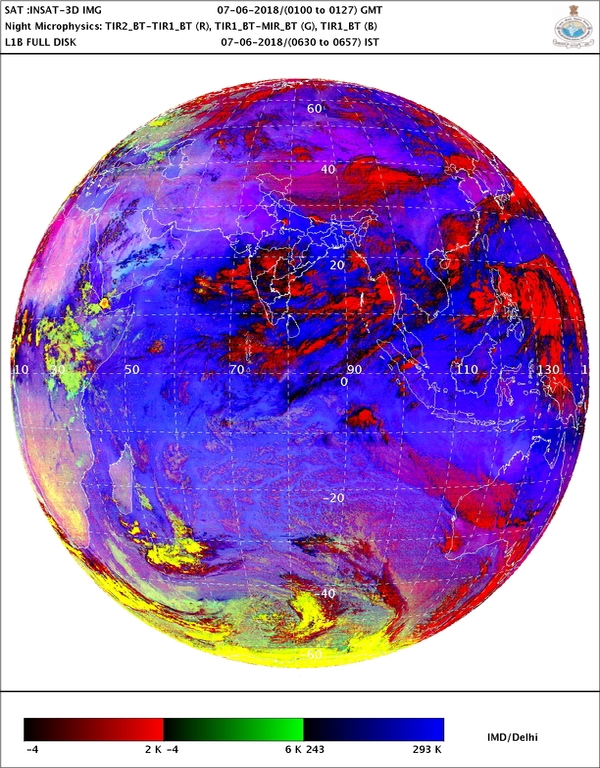
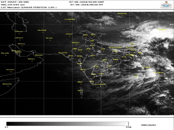
The satellite image released by the IMD (on June 7) which shows position of clouds over several parts of India, Arabian Sea, Bay of Bengal and Indian Ocean.
As per the forecast, there is a possibility of "very heavy" rainfall in Ratnagiri and Sindhudurg districts on Thursday and on 8 June, said a PTI report.
"As per the forecast of the met department, the state calamity relief cell has sounded a high alert at almost all the places in the state especially in the Konkan region. The state calamity relief cell has instructed district administrations to remain on high alert to face any emergency conditions," a government release stated.

Directions have been given to the control rooms in Mantralaya, divisional commissioner's office, district collectors' offices, municipal corporations and tehsildar offices to work round-the-clock, it added.
People in Mumbai can dial 1916 and those outside Mumbai can dial 1077 in case of emergency.
According to the IMD's prediction on distribution of rainfall this monsoon, the central India will get 'normal' rainfall but the southern Peninsula - Karnataka, Telangana, Andhra Pradesh, Tamil Nadu, Kerala and Puducherry - may get 'below normal' rainfall.

The north-east India is expected to get least rainfall (below normal) during the period. The monthly rainfall over the country as whole is likely to be 101% of its Long Period Average (LPA) during July, and 94% of the LPA during August - both with a model error of plus or minus 9%.
Anything between 90%-96% of the LPA is considered "below normal" while rainfall in the range of 96%-104% of the LPA is considered "normal." Also, rainfall is considered "deficient" if it ranges below 90% of the LPA, and "above normal" if it falls between 104%-110% cent of the LPA. Above 110% of the LPA is considered "excess" rainfall.
Read in Kannada: ರಾಜ್ಯದ ಕರಾವಳಿ, ಕೊಂಕಣ-ಗೋವಾ, ಮಹಾರಾಷ್ಟ್ರದಲ್ಲಿ ಭಾರಿ ಮಳೆ ಸಂಭವ
Read in Malayalam: കര്ണാടക തീരദേശമേഖലകളില് വെള്ളപ്പൊക്ക മുന്നറിയിപ്പ്! ഗോവയിലും കൊങ്കണിലും കനത്ത മഴയ്ക്ക് സാധ്യത
Read in Tamil: வானிலை அப்டேட்: கடலோர கர்நாடகா, கொங்கன் கோவா, மும்பையில் கனமழைக்கு வாய்ப்பு
Read in Telugu: వాతావరణం రిపోర్ట్: టీ-ఏపీలలో వర్షాలు


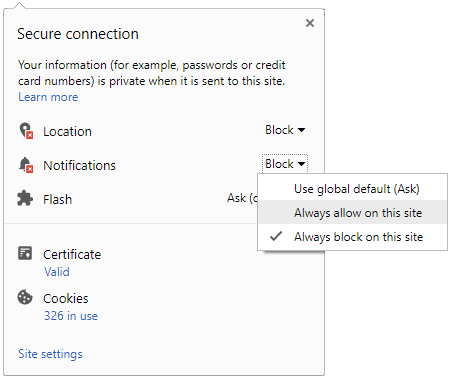
 Click it and Unblock the Notifications


